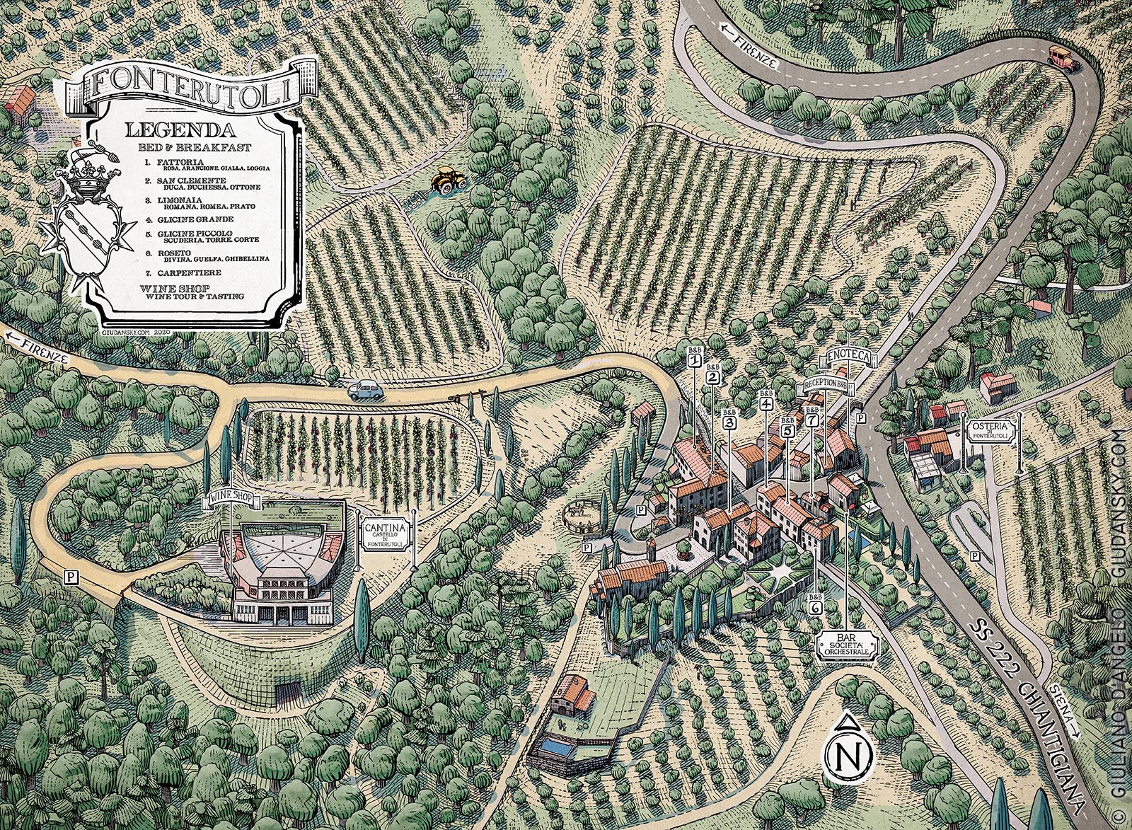
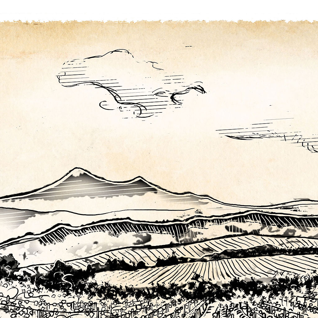
Castello di Fonterutoli Mazzei is a farm of incredible beauty, immersed in the Sienese Tuscany. Drawing an illustrated map of this place means knowing every corner, flying like a falcon over every single roof of the village, following the direction of the vineyards plots that climb up the mountain. Drawing the stones details of the ancient walls, it is inevitable to take a journey through time imagining its history. When the work is finished, it is like feeling at home and orienting yourself as if you had lived there for a long time.
The town has ancient origins, it was already known in Etruscan and Roman times; a roman paved road, also illustrated on the map, crosses the town drawing a cross on the village just as it was in the urbanistic tradition. An important garrison halfway between Siena and Florence, at the beginning of 1200 it was the seat of two peace treaties that assigned the Chianti territory to the Florentines. In 998, as also remembered by a plaque placed in the centre of the village, Ottone III put an end to the disputes between the powerful dioceses of Siena, Fiesole and Arezzo.
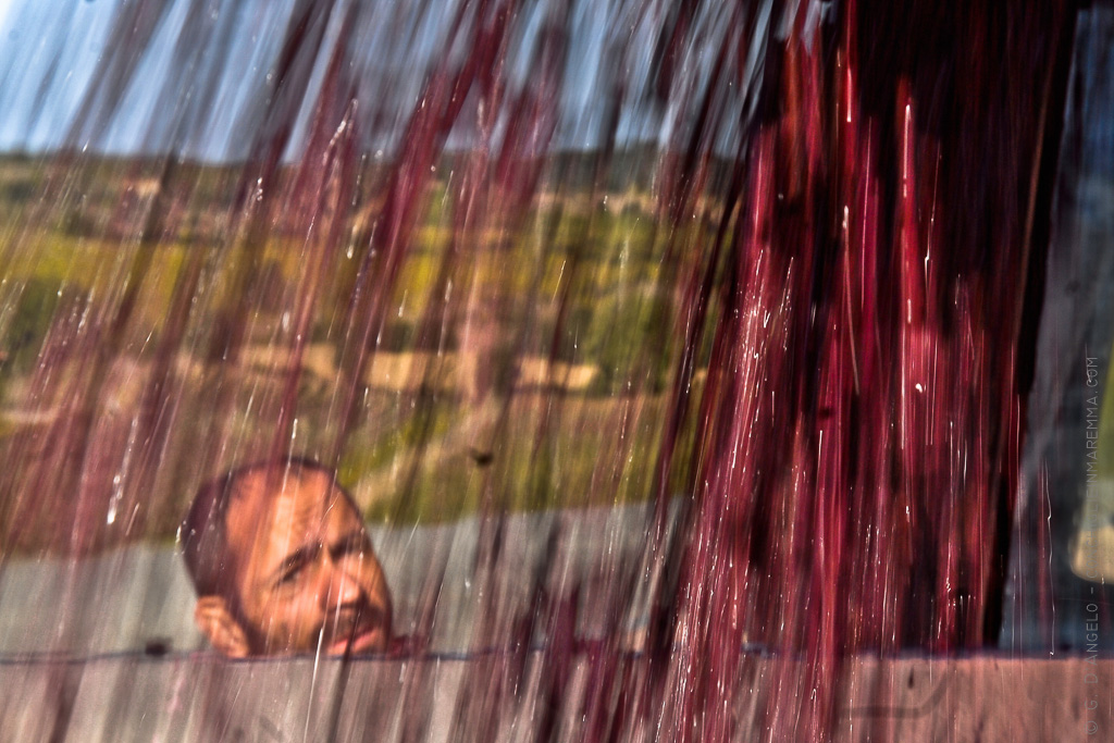
In the valley behind the village, which also overlooks the Torre del Mangia in Siena, stands the great wine cellar of the Marquises Mazzei, a production plant in the Chianti region. Underground, a 3,000-keg barrel cave cantina, with an underground stream which provides the ideal humidity; the incessant roaring of water accompanies the maturation of the wine in the barriques.
This is the result of several days of work, from the inspection, the collection of photographic material, the study of aerial photos and orthographic maps. Each element has been drawn at the stroke, a real forest of lines with engraving style. The table in the original dimension of 1 meter, also includes microscopic details, small human and animal figurines.


")
Follow me for updates or contact me on the socials